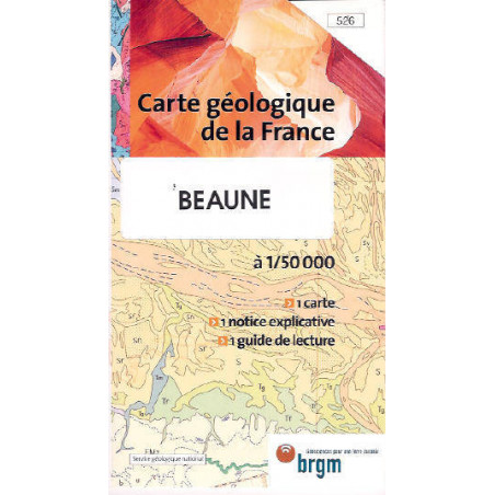
Folded map
The Beaune sheet, taken from the geological map of France, shows the central part of the territory between Dijon, Chalon-sur-Saône, the Morvan and the Saône plain, in the southern part of the Côte d'Or department. The Côte itself, famous for its vineyards, appears on the sheet following almost a NE-SW diagonal line, marked from North to South by well-known towns renowned for their great wines, such as Vosne-Romanée, Nuits-St-Georges, Aloxe-Corton, Beaune, Pommard, Volnay, Monthelie, Meursault... It divides the map into two very different natural regions: one mountainous, dry, mainly limestone, and the other low, humid, clayey. They are part of the two main geological entities of the Côte d'Or: the Burgundian plateau and the Bresse trench. In the Beaune region, the Burgundian plateau is actually a set of rolling plateaus and outlier hills peaking between elevations of 350 and 600, separated by a dense network of narrow, deep, and often dry valleys. The subsoil is mainly composed of Jurassic limestone and calcareous-clayey beds, fissured, more or less karstic, and therefore highly permeable underground but dry on the surface. The compact limestones of the Bathonian and the Kimmeridgian often outcrop as cliffs and sometimes in a spectacular manner (Arcenant, Bouilland, Saint-Romain...)... This set includes: 1 Geological map No. 5261 explanatory note 1 Reading guide Publisher: BRGM, 96 x 66 cm, Scale: 1/50,000.


