


Visa, MasterCard, Amex, Paypal or 3 times, interest-free with Scalapay

0.01€ from 35€ of purchase in France*

Worldwide Shipping

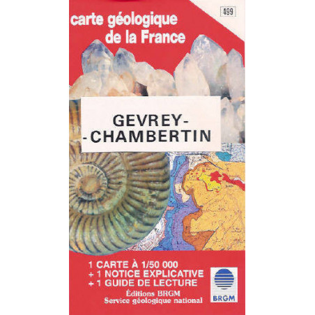
Folded map / folded map / Folded mapSituation, natural regions, structure. The Gevrey-Chambertin sheet, taken from the geological map of France, concerns both the eastern outskirts of the Paris Basin and more specifically the Auxois, the Côte d'Or plateau, and the western edge of Bresse: to the northwest, the Sombernon region is on the Seuil morvano-vosgien, whose axis is marked by outcrops of crystalline rocks in Remilly, Mesmont, and Mâlain. The landscape is characteristic of the Auxois: vast clay slopes covered with pastures, corresponding to the Lias and Triassic, crowned by the Jurassic limestone cliff. The general dip of the layers, very slight, is directed towards the West. The watershed between the Seine and the Saône passes through Sombernon. To the east, the Dijon plain, in continuity with that of the Saône, extends over the quaternary alluvium and the tertiary marls and conglomerates of the Bresse Basin. Between these two regions, forming a "step" in the Morvan-Bresse collapse system, the southern Burgundian plateau which occupies the majority of the sheet is the domain of Jurassic limestone. It is more precisely a set of plateaus and hills, culminating at 500 or 600 m, witnesses of an old erosion surface probably from the Miocene. The reliefs are separated by the network of valleys of the Ouche and its left bank tributaries, simple streams, as well as by numerous dry, narrow and deep "combes"This lot consists of:1 Geological map n°4991 explanatory note1 Reading guidePub: BRGM, 83 x 64 cm, Scale: 1/50 000.
Data sheet