


Visa, MasterCard, Amex, Paypal or 3 times, interest-free with Scalapay

0.01€ from 35€ of purchase in France*

Worldwide Shipping

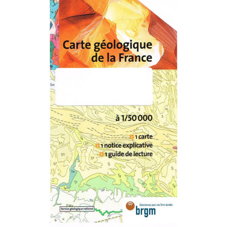
Scale: 1/50,000Format: 60 x 40 cmGEOLOGICAL MAP OF FRANCEA geological map is a topographical map on which geological information is superimposed. It allows to visualize, quantify, evaluate a considerable amount of data about the soil and subsoil (nature, geometry, age, origin, natural resources, physical properties, structures, mechanisms).The geological information provided by the map helps guide the exploration and exploitation of mineral resources, the discovery and management of groundwater, the fight against pollution, the prevention of natural risks, the location of civil engineering structures, the optimization of urban planning and land use. An essential tool for many professionals, the geological map of France at 1/50,000* is also an essential information document for teachers, students or simply enthusiasts. At this scale, the entire metropolitan France is divided into 1,127 sheets, to which are added those of the Overseas Departments. The geological map program of France also includes the production of regional syntheses at 1/250,000 or national at 1/1,000,000. Entrusted to BRGM since 1968, this program is managed by the Map Scientific Committee which ensures the quality of the information. These maps are produced with the contribution of many external collaborators (universities, CNRS, etc.).*2cm on the 1/50,000 map = 1km on the ground
Data sheet

