


Visa, MasterCard, Amex, Paypal or 3 times, interest-free with Scalapay

0.01€ from 35€ of purchase in France*

Worldwide Shipping


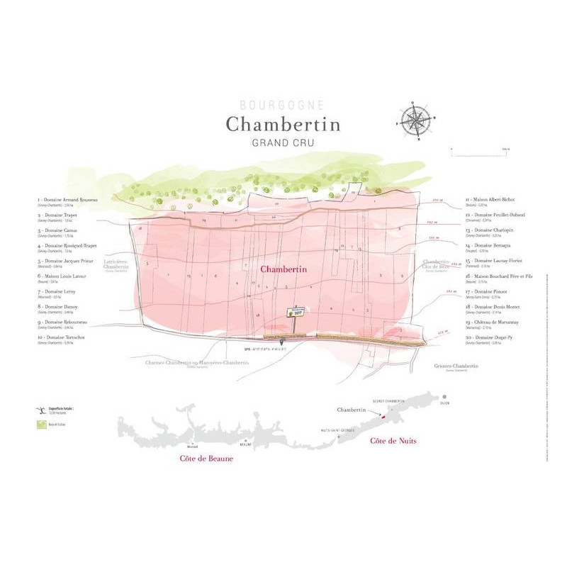
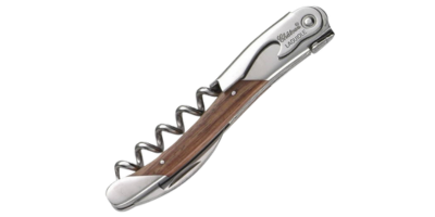
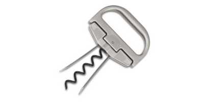
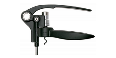
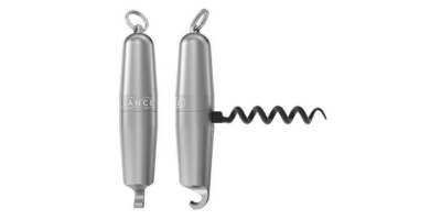
Data sheet
You might also like