


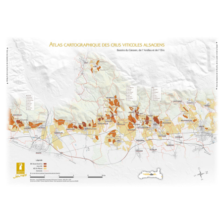


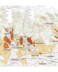
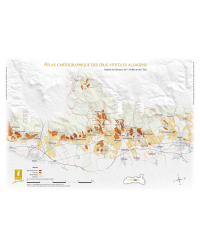
Discover the 42 x 60 cm wall map illustrating the Alsatian vineyard cartography between Orschwiller and Obernai, highlighting the Giessen basins, Andlau, and Ehn. Printed on 200g/m² textured paper, this paper map in A2 format (420 x 594 mm) is ideal for lovers of Alsace wines and enthusiasts of viticultural geography. Delivered rolled and ready to frame, it is published by the Jeunes Vignerons du Synvira.
Visa, MasterCard, Amex, Paypal or 3 times, interest-free with Scalapay

0.01€ from 35€ of purchase in France*

Worldwide Shipping


Dive into the heart of the Alsatian vineyard thanks to this 42 x 60 cm wall map which offers a detailed view of the terroirs located between Orschwiller and Obernai, passing by the famous Giessen basins, of the Andlau and of the Ehn.
This wine mapping highlights the geographical features and boundaries of the different vintages, allowing for a better understanding of the Alsatian terroirs. It is ideal for the wine enthusiasts, the Oenologists, the Wine merchants or even enthusiasts of geography of the vineyard.
Printed on a 200g/m² textured paper, this paper map in the format A2 (420 x 594 mm) ensures excellent print quality and good durability. It is delivered rolled, ready to be framed according to your preferences, and will bring a touch of elegance to any space: wine cellar, office, tasting room, or even living room.
Made by the Young Winemakers of Synvira, This map reflects the commitment of local producers to enhance their wine heritage and to share the richness of their terroirs.
Points strong:
Bring an authentic and educational touch to your decor while exploring the subtleties of Alsatian terroirs.
Item characteristics:
Data sheet
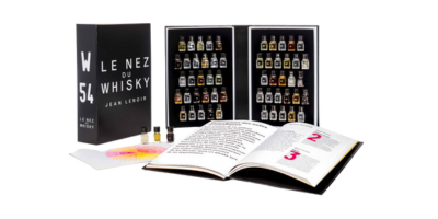
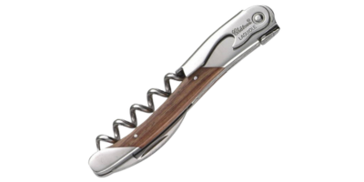
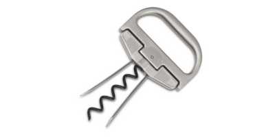
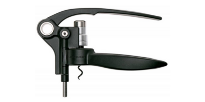
You might also like

Discover the 42 x 60 cm wall map illustrating the Alsatian vineyard cartography between Orschwiller and Obernai, highlighting the Giessen basins, Andlau, and Ehn. Printed on 200g/m² textured paper, this paper map in A2 format (420 x 594 mm) is ideal for lovers of Alsace wines and enthusiasts of viticultural geography. Delivered rolled and ready to frame, it is published by the Jeunes Vignerons du Synvira.


