


- Unavailable


Visa, MasterCard, Amex, Paypal or 3 times, interest-free with Scalapay

0.01€ from 35€ of purchase in France and from 99€ throughout Europe

Delivery in France and around the world at home, at office or in a pickup point

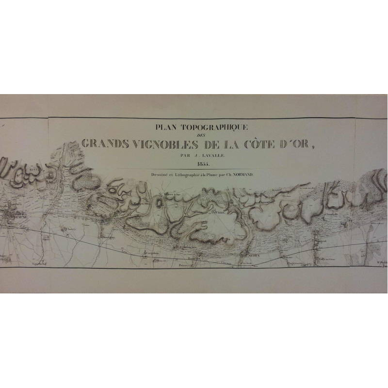
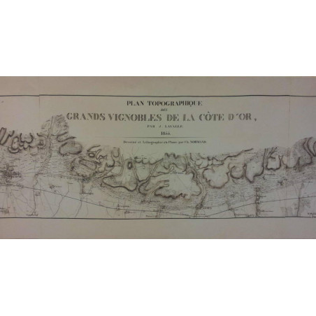
In the 19th century, scientists sought to better classify Burgundy wines, according to their qualities and their plots of origin.
The first classifications were proposed in 1827 and 1831. They were reused in 1855 by Dr. Lavalle. This establishes an official hierarchy of wines, in several categories: "Offline" wines , which include the most prestigious vintages (e.g., Romanée-Conti, Clos de Vougeot), classified into two groups: "tête de cuvée number one" and "tête de cuvée number two". The "first vintage" and "second vintage" wines, these categories include all the other wines. This painting is based on the Topographical Plan of the Great Vineyards of the Côte d'Or drawn up by Dr. J. Lavalle in 1855
Publisher: Olivier de Cayron
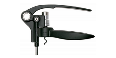
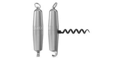
Data sheet